Guides · Boston
Boston
153 places · 18 areas · a free route, then $4.99 for the whole city · offline map 19.5 MB
The free route
Free in the app, permanently, before you pay anything. 8 stops, 1 day, about 2.8 km, planned by the app's own engine.
Day 1 · ~2.8 km
1
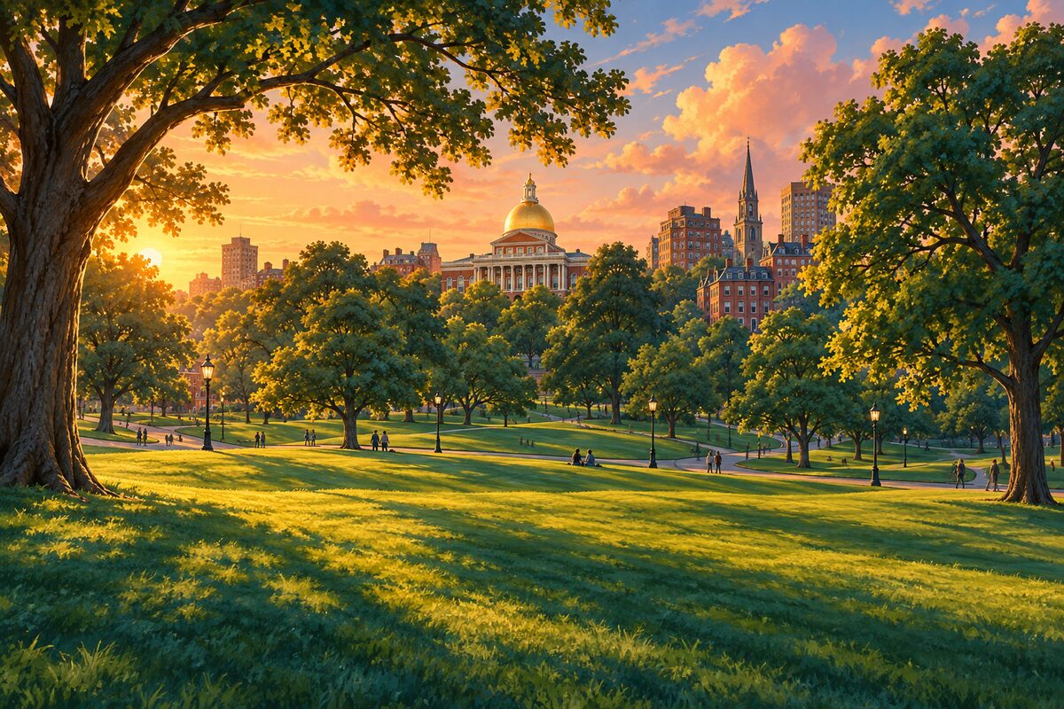
Boston Common
America's oldest public park and the Freedom Trail's first stop
Start at the Park Street corner and cut diagonally toward Frog Pond, letting the paths do the navigating; the red line is underfoot the whole way.
2
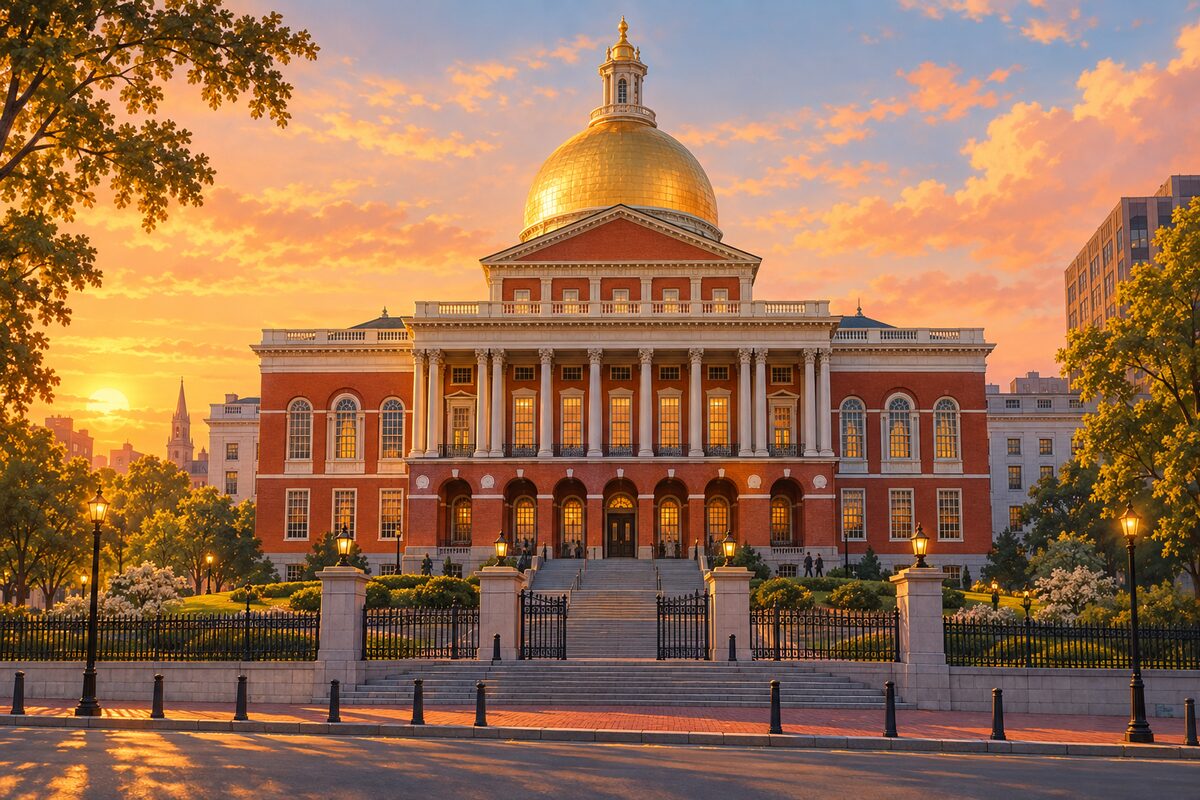
Massachusetts State House
The gold-domed seat of state government
Climb Park Street from the Common and stop at the top step, where the dome sits directly overhead and the whole city drops away behind you.
3
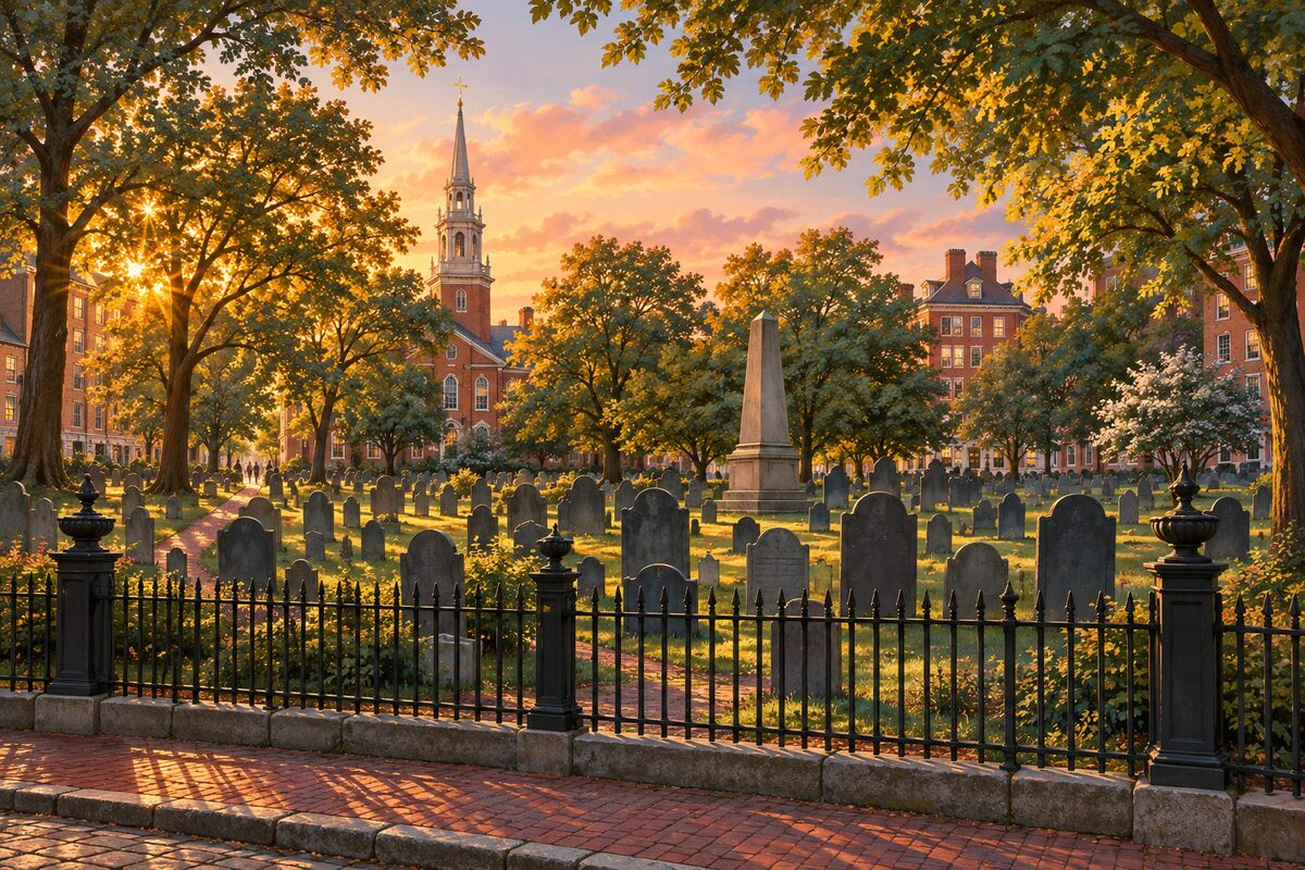
Granary Burying Ground
Graves of Revere, Hancock and Samuel Adams
Walk the central path to the Franklin obelisk, then work the edges, where the oldest slate stones with winged skulls lean into the wall.
4
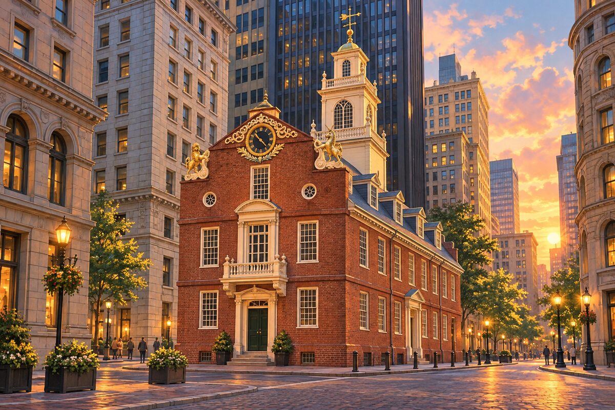
Old State House
1713 colonial capitol, now a museum among the banks
Take it from the west end of State Street, where the lion and unicorn sit against a glass tower, then go in for the balcony room.
5
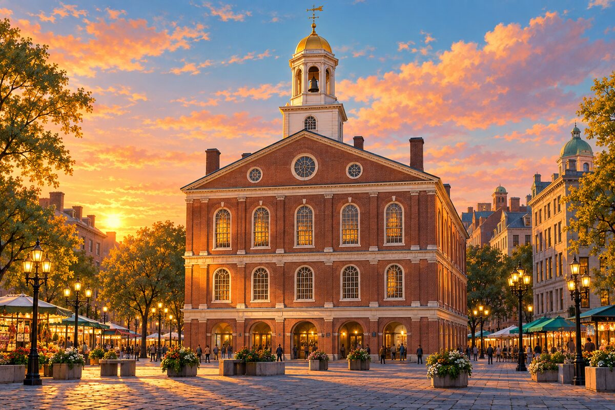
Faneuil Hall
The Cradle of Liberty: market below, meeting hall above
Skip the ground-floor shops and go straight up to the second-floor hall, which is free, usually half empty, and the reason the building exists.
6
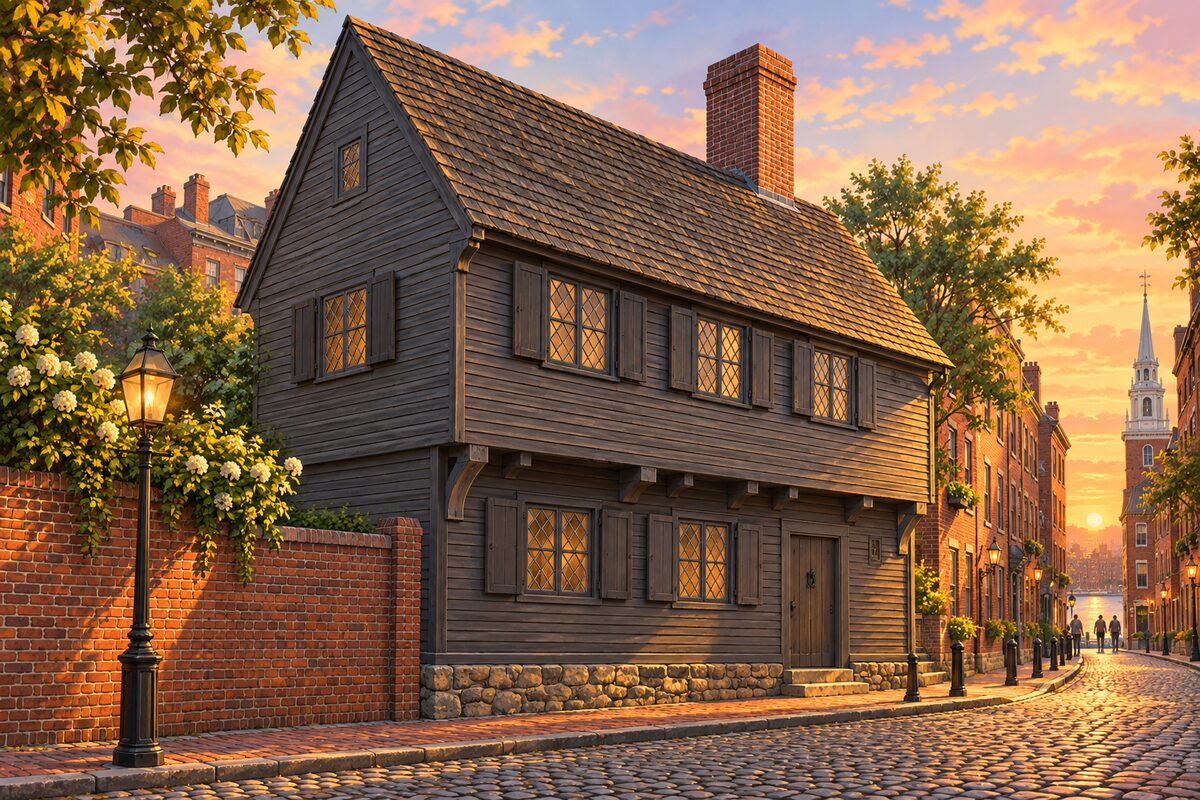
Paul Revere House
The city's oldest surviving home, built about 1680
Go through the rooms slowly; the house is small, low and dark, and the whole point is how ordinary the life inside it was.
7
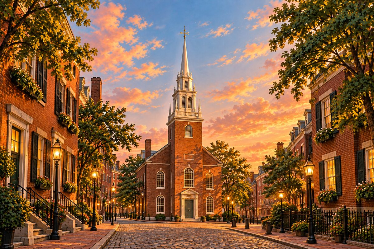
Old North Church
The "one if by land" steeple of 1723
Sit in one of the box pews for a few minutes, then step out to Paul Revere Mall behind it and look back up at the steeple from the bricks.
8
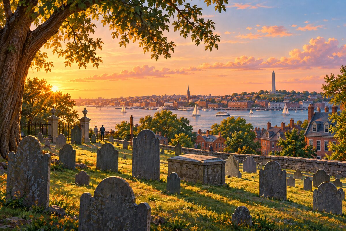
Copp's Hill Burying Ground
Hilltop graveyard looking across to Charlestown
Walk to the far wall and look north across the water to Charlestown and the monument — the same sightline the British gunners used.
More of the top sights
A few of the 153 places in the full guide. Each one has its own written guide in the app: what to do, what to notice, the history, and why it hits.
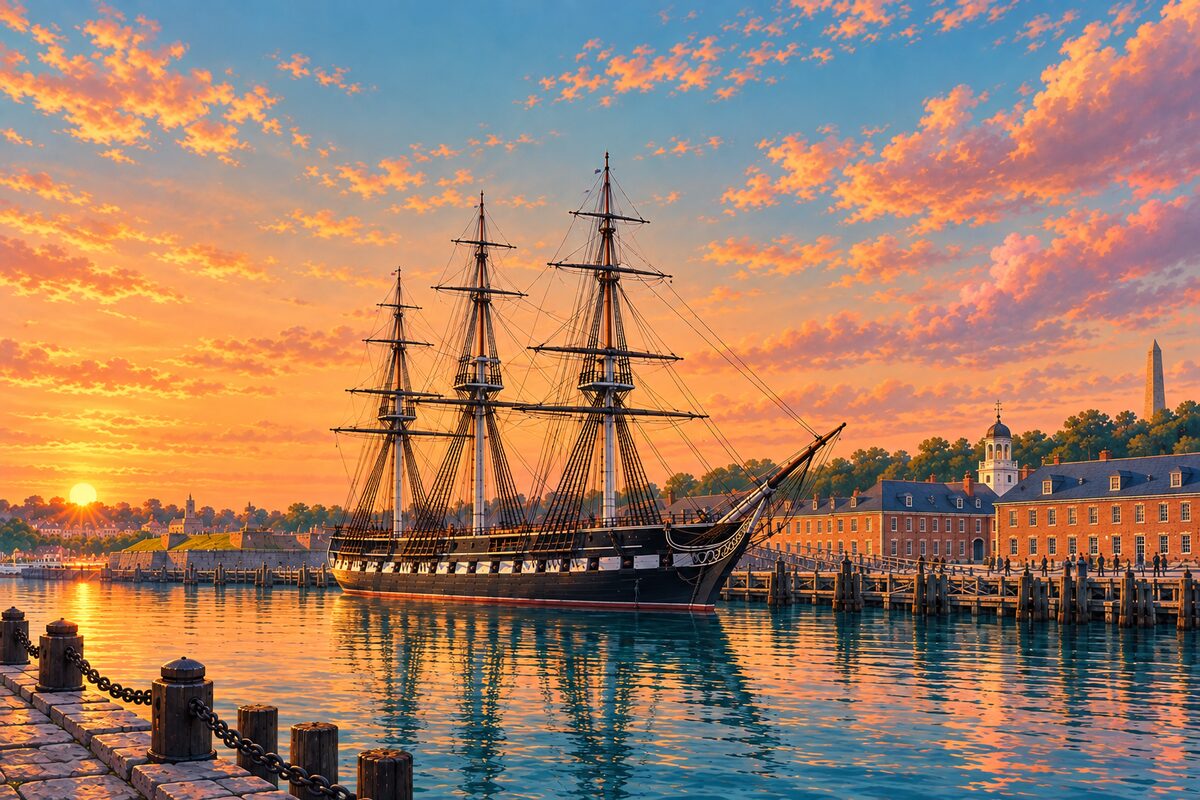
USS Constitution
"Old Ironsides," the Navy's oldest commissioned warship afloat
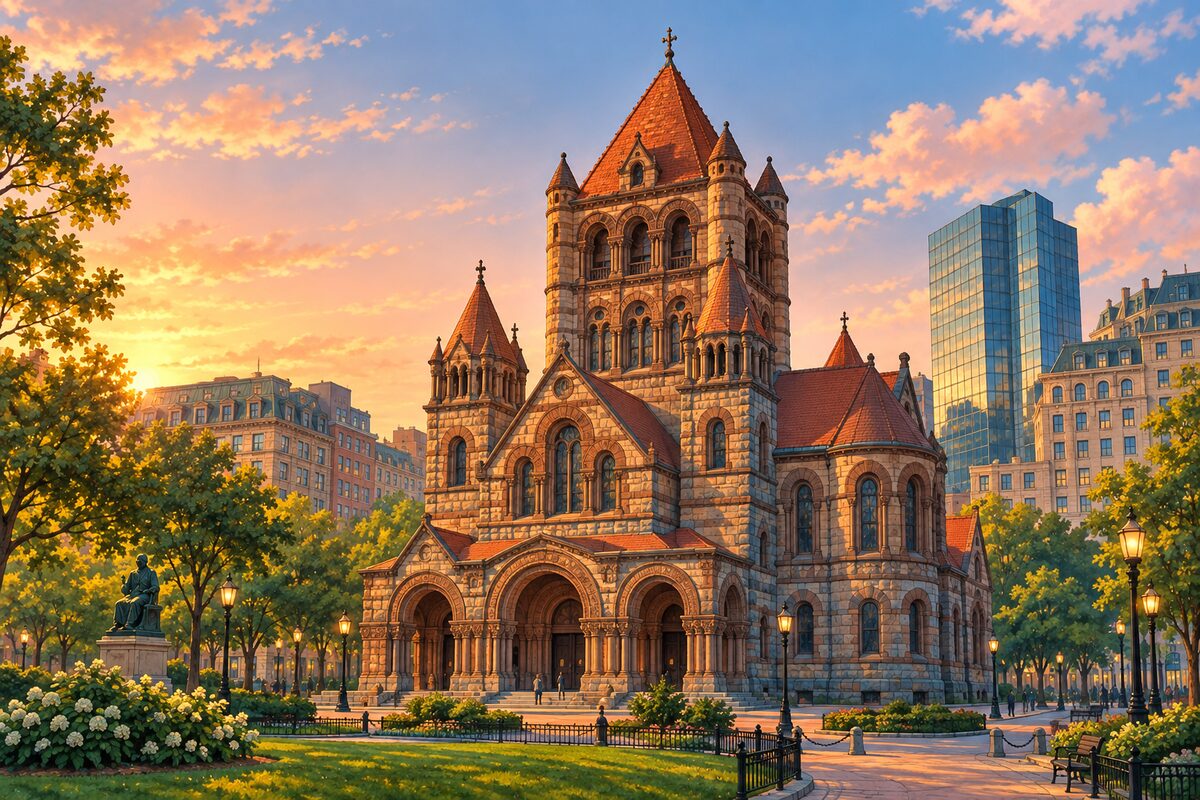
Trinity Church
Richardson's Romanesque masterwork on Copley Square
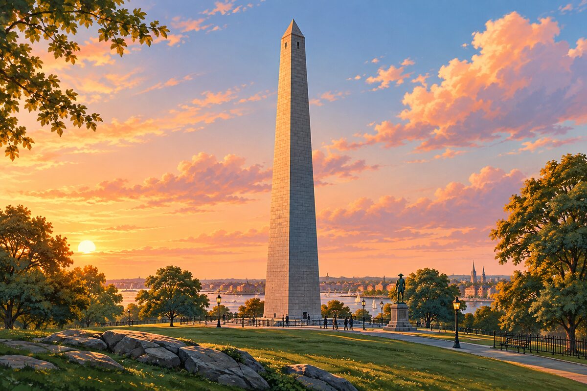
Bunker Hill Monument
A 221-foot granite obelisk, 294 steps to the top
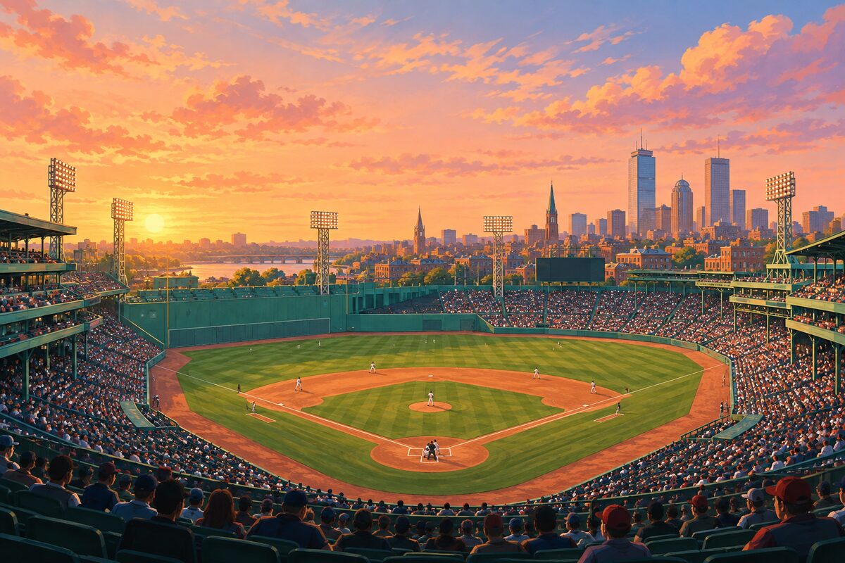
Fenway Park
The oldest ballpark in the major leagues, opened 1912
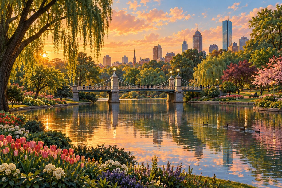
Public Garden
The country's first public botanical garden, across Charles Street

Boston Public Library McKim Building
Bates Hall's barrel vault and the Sargent murals
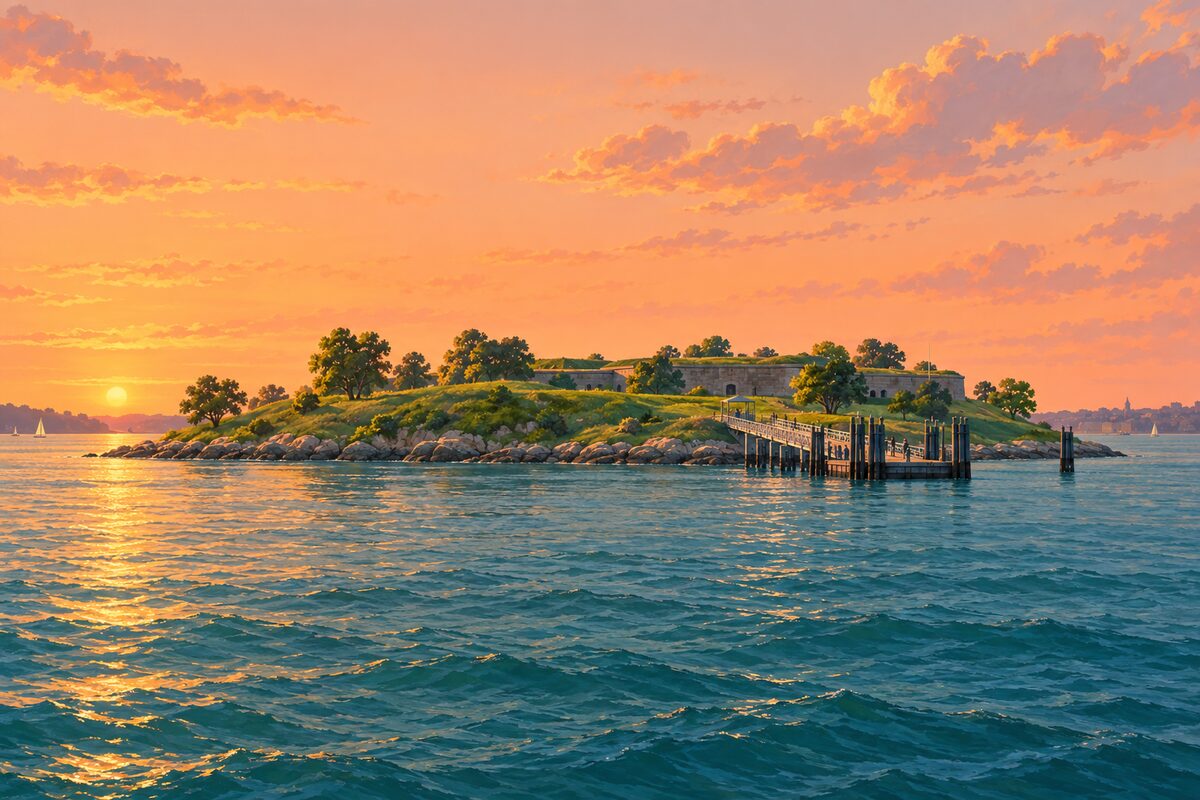
Georges Island
Fort Warren's granite ramparts, forty-five minutes out
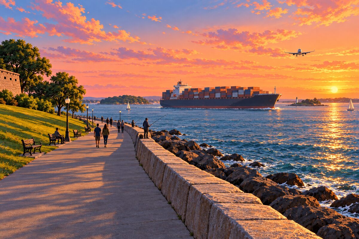
Castle Island
Joined to the mainland since 1928, not an island any more
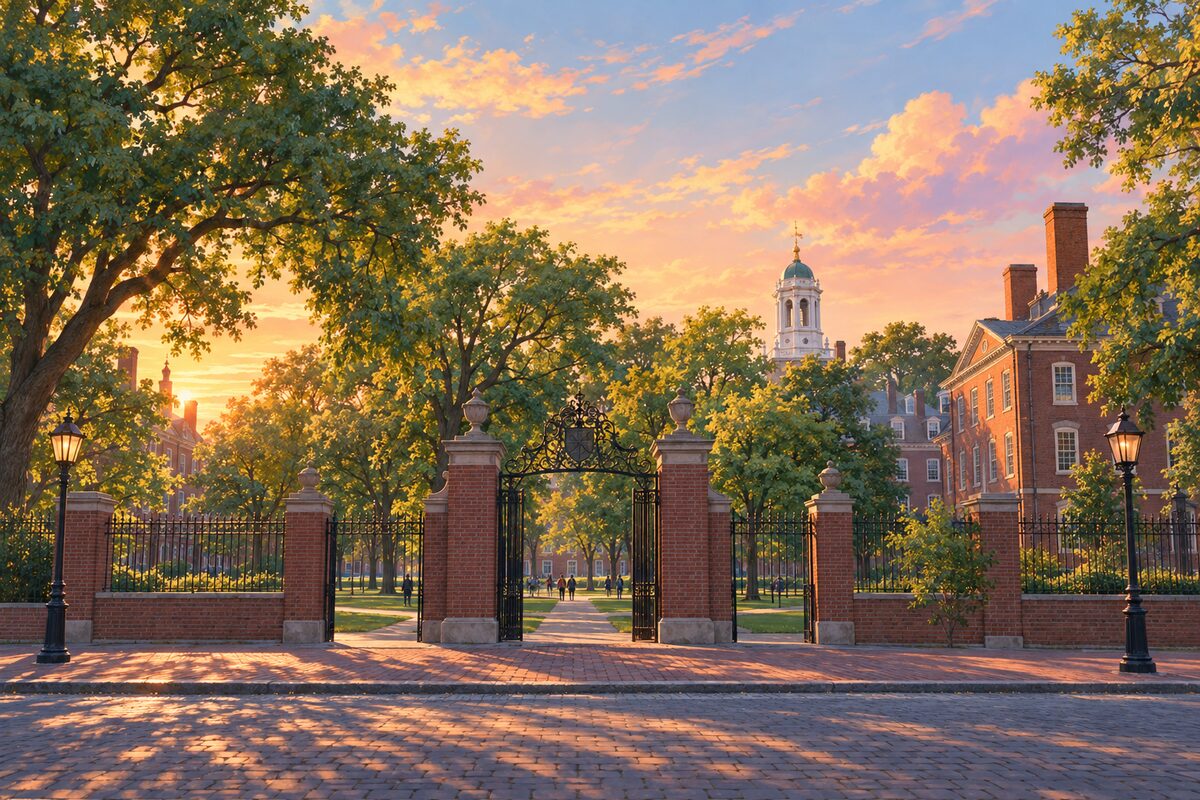
Harvard Yard
The old campus behind its gates, elm-shaded
Areas
Boston Common & Public Garden · Beacon Hill · Downtown · Waterfront · North End · West End · Charlestown · Back Bay · Fenway–Kenmore · South End · Chinatown & Leather District · Theater District · Seaport & Fort Point · South Boston & Castle Island · Harvard Square · Kendall Square & MIT · East Boston · Boston Harbor Islands
Illustrations are drawn for the app. Place descriptions are written by hand and checked against a primary source; facts draw on Wikidata (CC0) and Wikipedia (CC BY-SA). Maps © OpenStreetMap contributors.