Guides · Chicago
Chicago
171 places · 22 areas · a free route, then $4.99 for the whole city · offline map 26.9 MB
The free route
Free in the app, permanently, before you pay anything. 8 stops, 1 day, about 2.8 km, planned by the app's own engine.
Day 1 · ~2.8 km
1
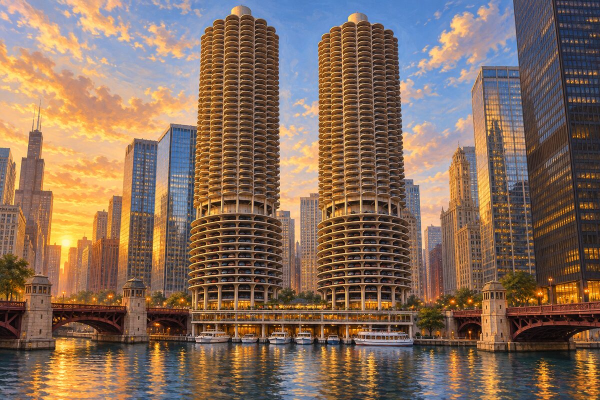
Marina City
Bertrand Goldberg's 1967 corn cobs, with cars parked in the open on the first nineteen floors
Look up from the riverside at the open parking spirals, where the cars sit on the outside of the building with nothing in front of them.
2
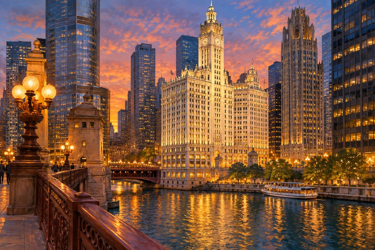
Wrigley Building
White terracotta in six shades, floodlit since 1921 because the owner liked it that way
Take it from the bridge at dusk, when the white front is lit and the river is underneath it.
3
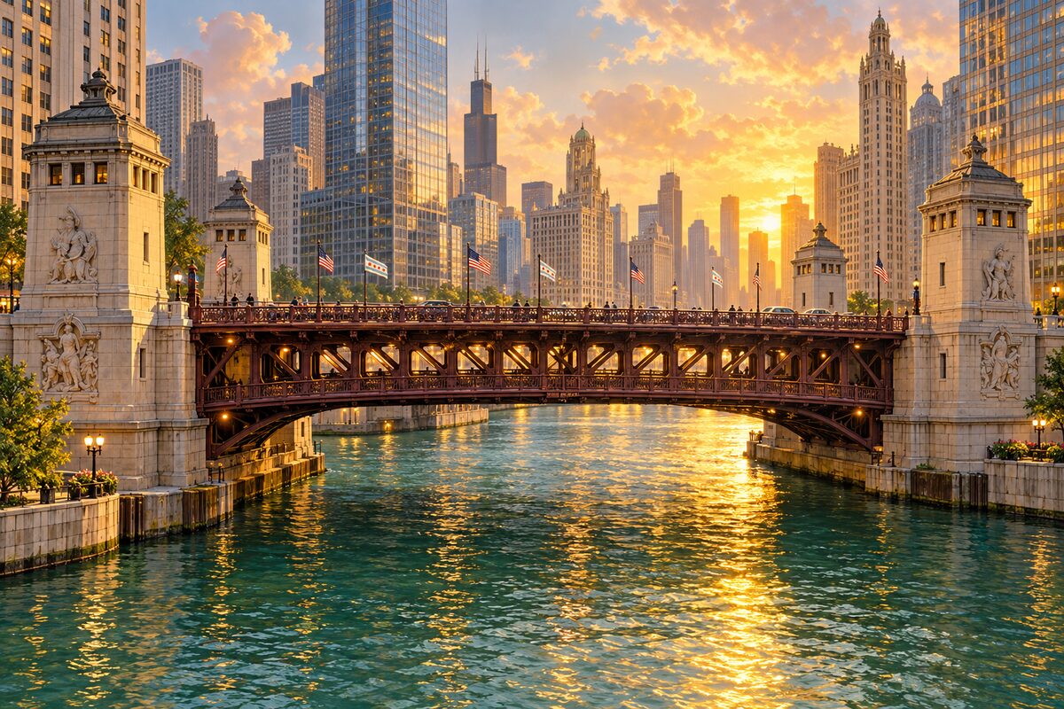
DuSable Bridge
The 1920 double-deck bascule, with four relief panels telling the city's founding story
Stand at the middle of the span and look both ways along the river, then read the carved reliefs on the bridgehouses before you leave.
4
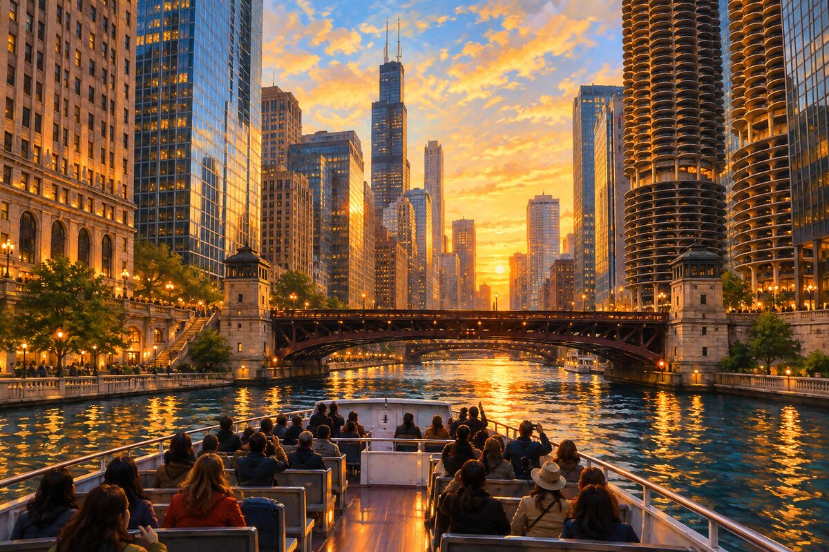
Chicago Architecture Center River Cruise
Ninety minutes on the water, ticketed and on a fixed timetable
Take it early in your stay rather than late; it is the fastest way to learn which building is which, and everything you walk past afterwards makes more sense.
5
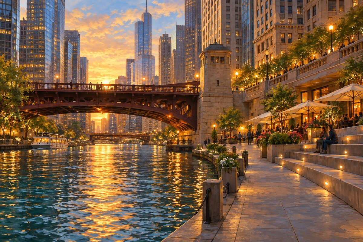
Chicago Riverwalk
A mile and a quarter of built-out riverbank; the bars shut for winter, the walk does not
Get down to water level at Michigan Avenue and walk west; the buildings you have been looking up at all day turn into a wall you are standing under.
6
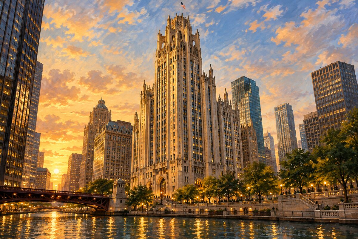
Tribune Tower
A Gothic crown on a newspaper tower, with stones from around the world set in its walls
Stand back far enough to see the crown, which is the whole argument of the building, then walk the base slowly.
7
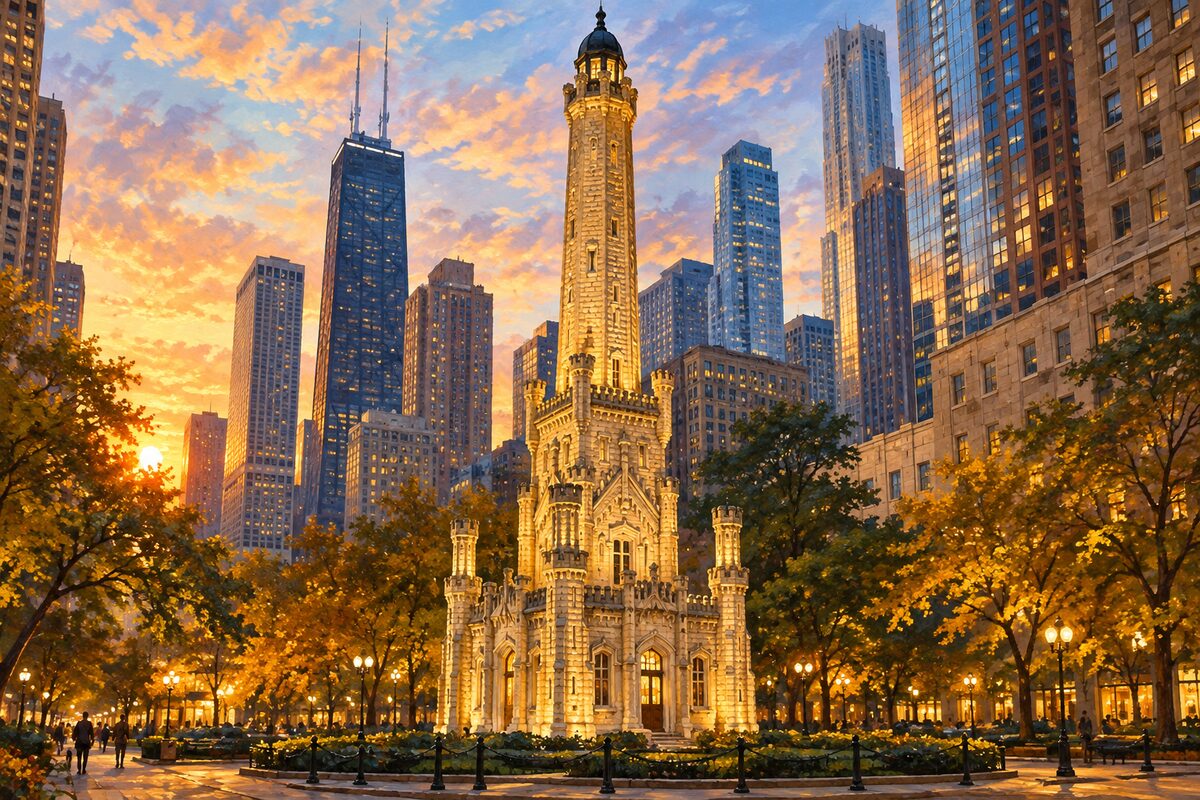
Chicago Water Tower
The limestone pumping-station tower that stood while everything around it burned in 1871
Go inside: it is a free gallery run by the city's tourism office, and almost everyone photographing the outside never tries the door.
8
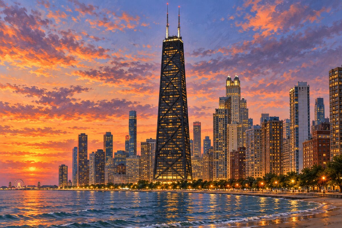
875 North Michigan Avenue
The X-braced tower everyone here still calls the Hancock
Go up at dusk and stay through the change; the lake goes black while the grid comes on, and that is the view this building has over the one downtown.
More of the top sights
A few of the 171 places in the full guide. Each one has its own written guide in the app: what to do, what to notice, the history, and why it hits.
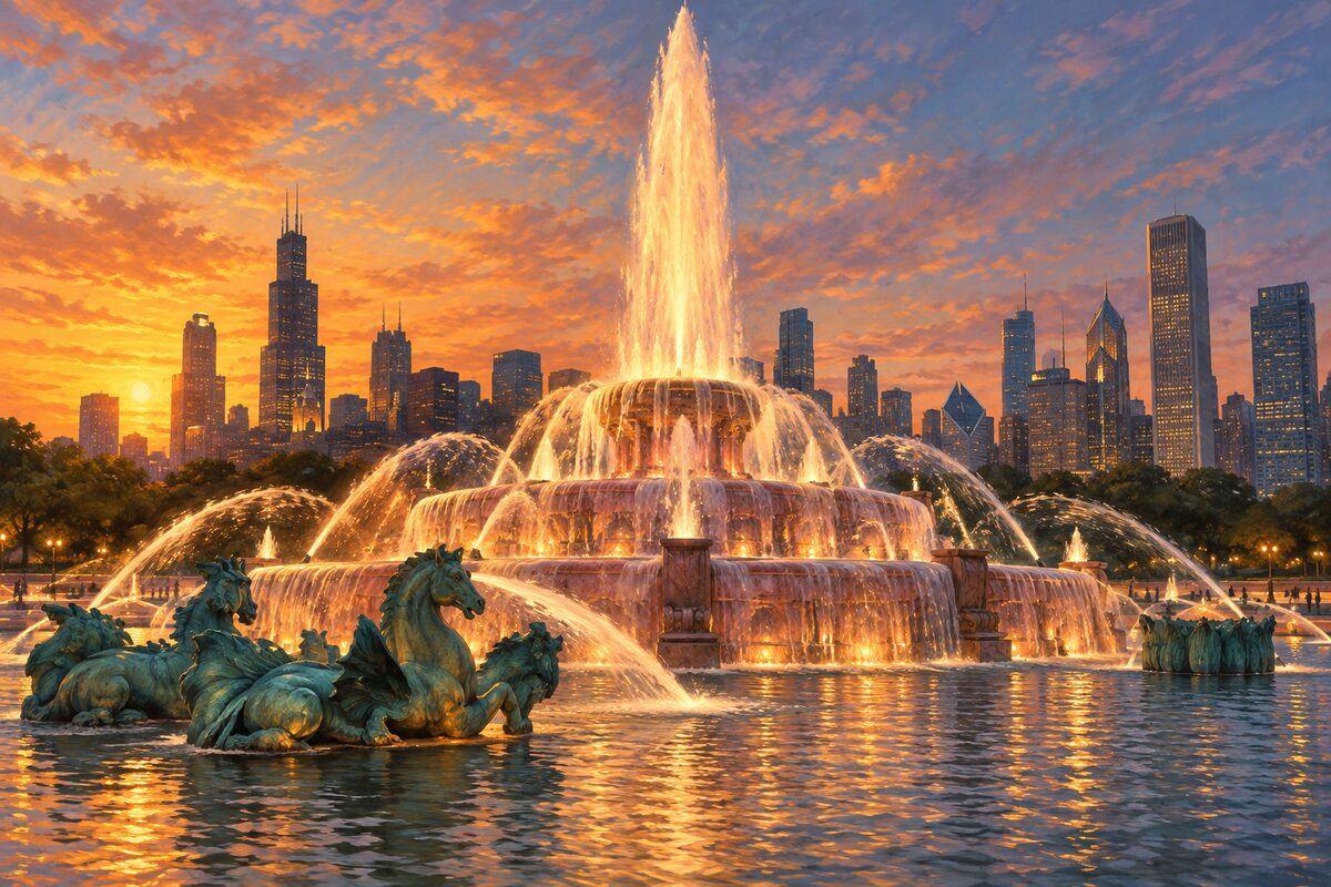
Buckingham Fountain
A 1927 pink-marble crown that runs on the hour from April to October, and sits dry all winter
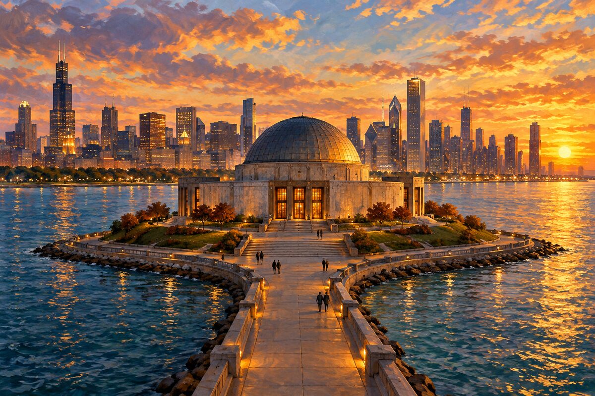
Adler Planetarium
The first planetarium in America, on the tip of an artificial island
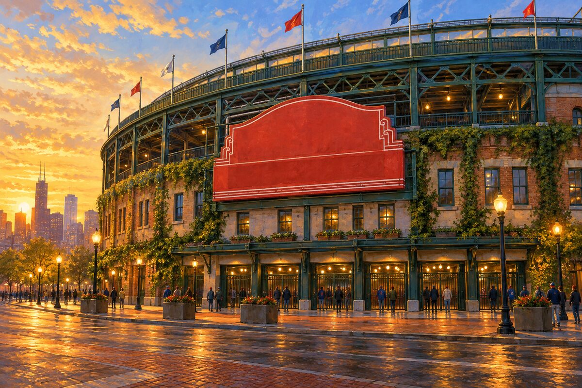
Wrigley Field
1914, ivy on the outfield wall and a scoreboard still turned by hand
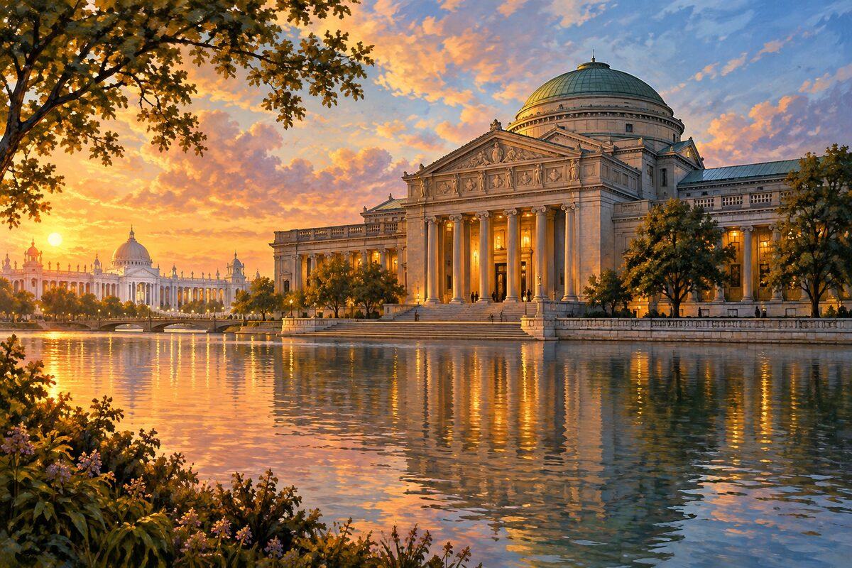
Museum of Science and Industry
A captured U-boat and a coal mine, inside the surviving building of the 1893 fair
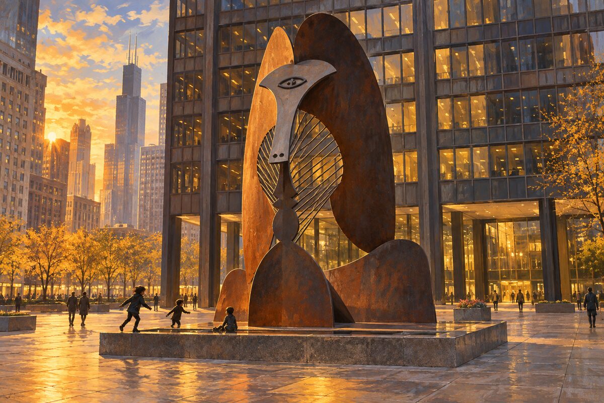
Chicago Picasso
Untitled, 1967: the city argued about what it was, then let its children slide down it
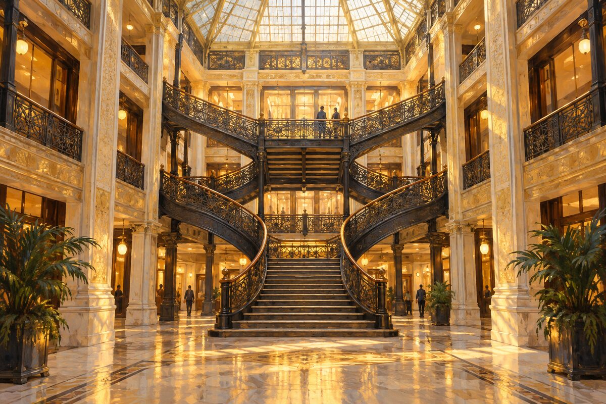
The Rookery
Burnham and Root's 1888 block, with a light court Frank Lloyd Wright reskinned in 1905

Lincoln Park
Seven miles of lakefront laid over the cemetery the city moved out
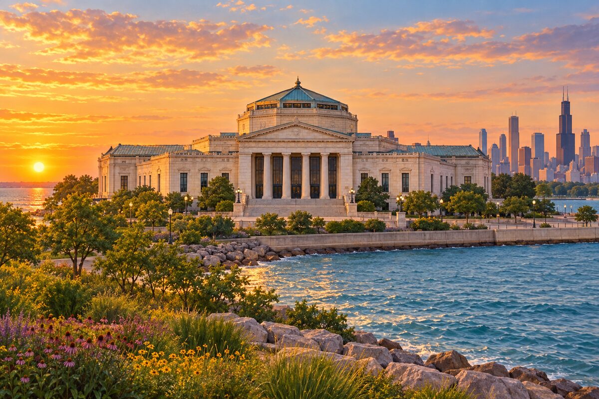
Shedd Aquarium
A 1930 aquarium that hauled sea water inland to keep saltwater fish alive
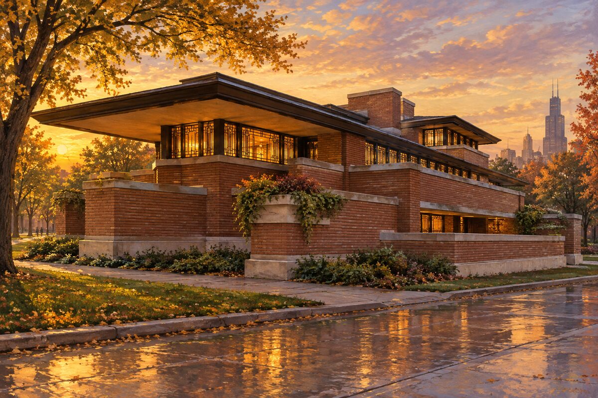
Frederick C. Robie House
1910, and the argument for the Prairie School in one building
Areas
The Loop · Millennium Park & Grant Park · The Cultural Mile · Chicago Riverwalk & the Bridges · South Loop & Museum Campus · River North · The Magnificent Mile · Streeterville & Navy Pier · Gold Coast · Old Town · Lincoln Park · Lakeview & Wrigleyville · Uptown & Andersonville · West Loop & Fulton Market · Near West Side & Greektown · Garfield Park & North Lawndale · Wicker Park & Bucktown · Logan Square & Humboldt Park · Pilsen & Little Village · Chinatown & Bridgeport · Bronzeville · Hyde Park & Jackson Park
Illustrations are drawn for the app. Place descriptions are written by hand and checked against a primary source; facts draw on Wikidata (CC0) and Wikipedia (CC BY-SA). Maps © OpenStreetMap contributors.