Guides · Memphis
Memphis
41 places · 7 areas · a free route, then $4.99 for the whole city · offline map 2.9 MB
The free route
Free in the app, permanently, before you pay anything. 8 stops, 1 day, about 1.7 km, planned by the app's own engine.
Day 1 · ~1.7 km
1
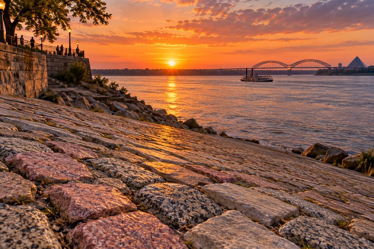
Cobblestone Landing
Mid-1800s stone-paved river landing below Front Street, restored in 2025 with the new Union Avenue Overlook
Walk down the sloping cobblestones toward the water and look at how the stones vary, from pink granite to speckled gneiss and gray limestone. Then go up to the Union Avenue Overlook for the view over the landing and the river. The sightseeing riverboats board here.
2
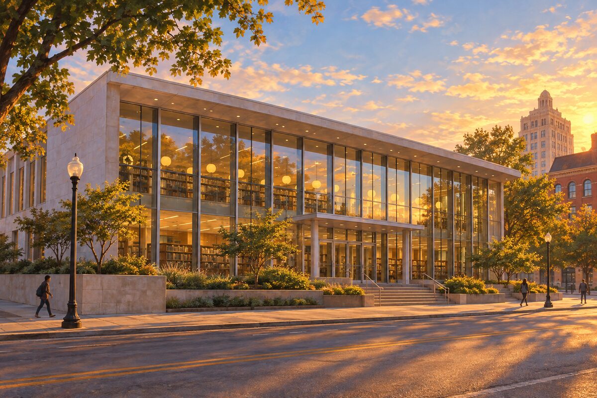
Cossitt Library
Memphis' first public library, opened in 1893, now a small downtown branch behind a mid-century glass front
Step in to see a compact working library in the building where public lending in Memphis began, then walk to the edge of Front Street for the view down to Cobblestone Landing and the river. Compare the mid-century glass front with the older sandstone wing beside it.
3
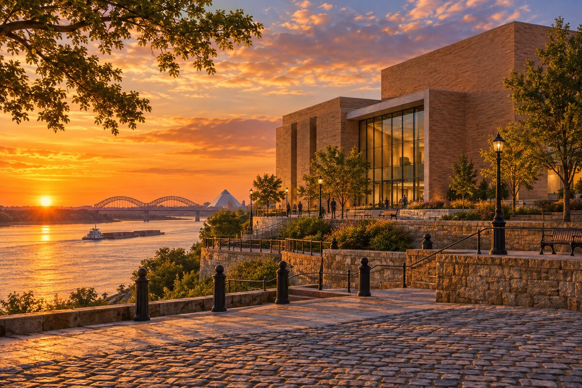
Memphis Art Museum
New Herzog and de Meuron riverfront home of the former Brooks Museum, opening on 6 December 2026
Until it opens, view the building from Front Street and from Cobblestone Landing below: brick walls in the earthy tones of Mississippi River clay on a rebuilt bluff. From December, go up to the rooftop sculpture garden and see the opening show of Hooks Brothers studio photographs.
4
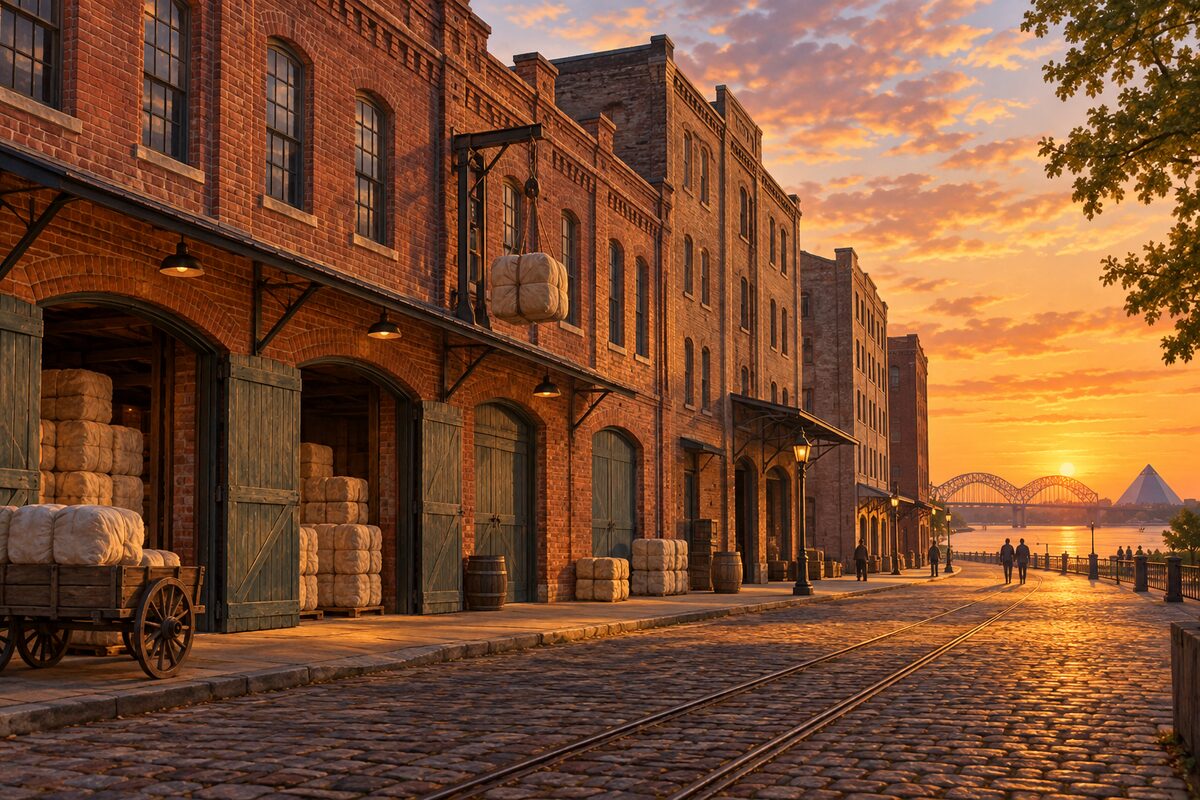
Cotton Row
Front Street blocks of cotton merchants' offices and warehouses, a National Register district since 1979
Walk Front Street between Monroe and Gayoso avenues, looking at the plain brick fronts and the wide ground-floor doors made for moving bales in and out. Then turn onto Union Avenue to the old Cotton Exchange, now the Cotton Museum.
5
Cotton Museum
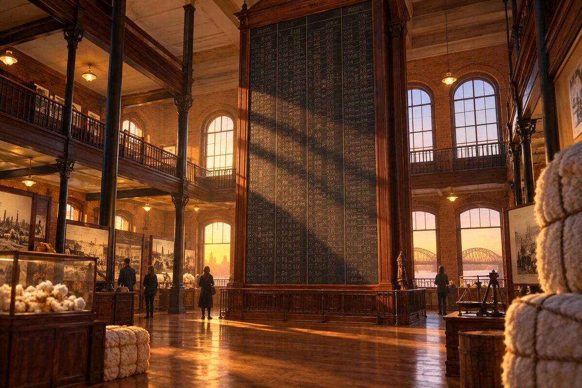
Museum on the old trading floor of the Memphis Cotton Exchange, under its ceiling-high chalkboard of cotton prices
Stand under the tall chalkboard where prices were posted and look into the old Western Union phone booths below it. Then work through the exhibits: grade a cotton sample, try to lift a picking sack, and read the sections on enslaved labor, sharecroppers and the blues.
6
Charlie Vergos' Rendezvous
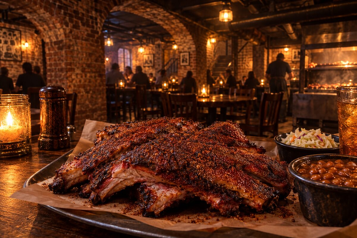
Basement barbecue restaurant down an alley opposite the Peabody, open since 1948 and known for dry-rub ribs
Walk into the alley off South Second Street, go down to the basement dining rooms and order the dry-rub ribs, the dish Charlie Vergos built the place on. Pair it with the Peabody duck march across the street.
7
The Peabody
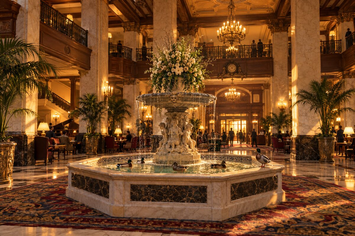
Grand hotel of 1925 where ducks march to the lobby fountain every day at 11am and 5pm
Arrive about 30 minutes before 11am or 5pm and find a place along the route in the lobby to watch the Duckmaster lead the ducks across the lobby to the fountain, or back out at 5pm. Afterward, look around the lobby and the Union Avenue front of the 1925 building.
8
Orpheum Theatre
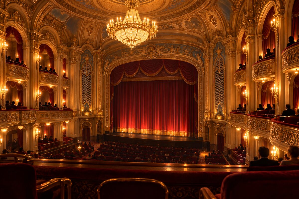
1928 Rapp and Rapp movie palace at Main and Beale, with tours and the Balcony Project on segregation
Book the hour-long campus tour for the gilded auditorium, the backstage murals and the Halloran Centre, or see a Broadway show. On Saturday mornings and Monday afternoons, step into the free Balcony Project on the Beale Street side.
More of the top sights
A few of the 41 places in the full guide. Each one has its own written guide in the app: what to do, what to notice, the history, and why it hits.
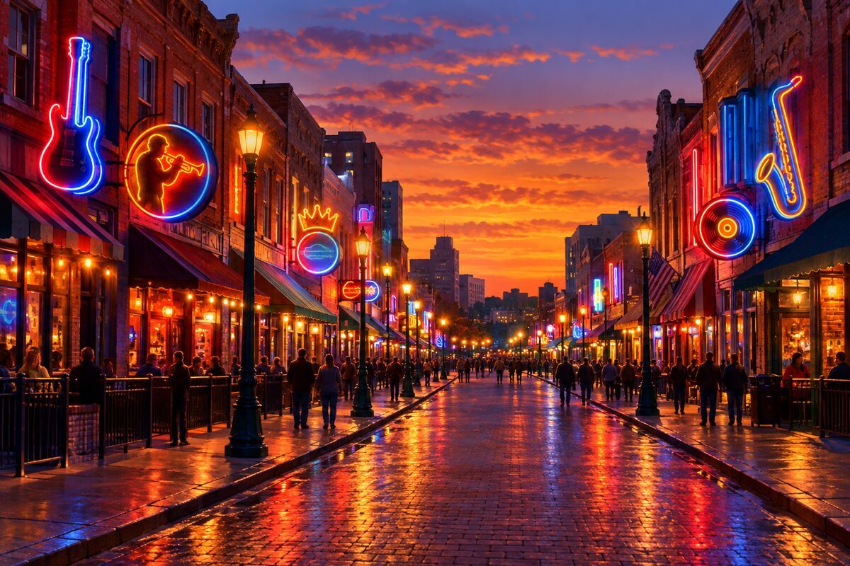
Beale Street
Historic main street of Black Memphis, named the Home of the Blues by Congress, now a neon club strip
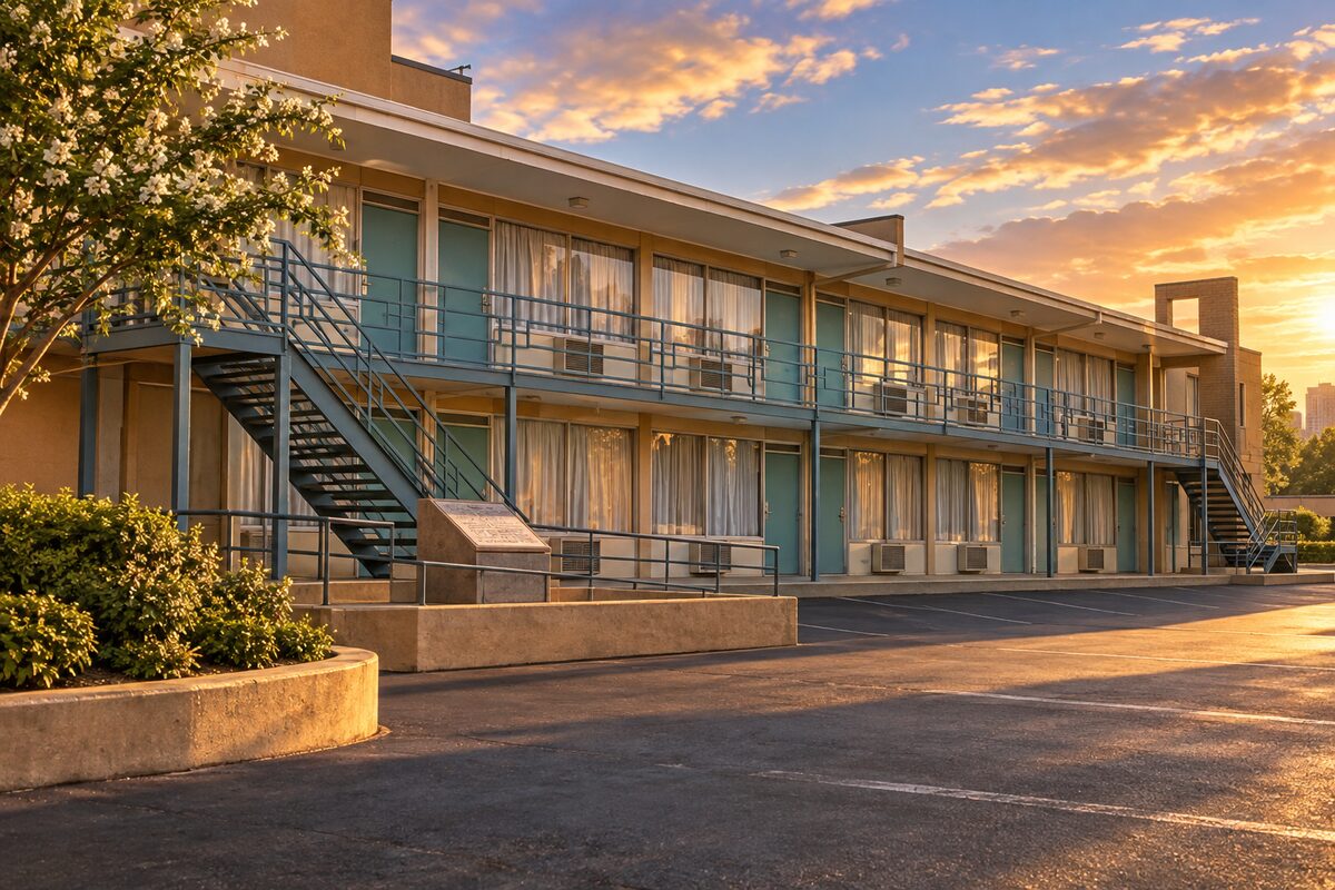
National Civil Rights Museum
Museum built around the Lorraine Motel, where Martin Luther King Jr. was killed in 1968; closed Tuesdays
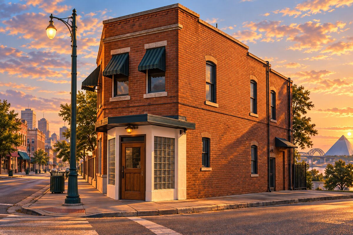
Sun Studio
Sam Phillips' 1950 studio where Elvis Presley made his first records, still working and toured every hour
Areas
Beale Street · South Main and the Lorraine · Riverfront and Tom Lee Park · Cotton Row and Peabody · Court Square and Mud Island · Victorian Village and Sun Studio · Beyond Downtown
Illustrations are drawn for the app. Place descriptions are written by hand and checked against a primary source; facts draw on Wikidata (CC0) and Wikipedia (CC BY-SA). Maps © OpenStreetMap contributors.