Guides · Seattle
Seattle
165 places · 24 areas · a free route, then $4.99 for the whole city · offline map 26.6 MB
The free route
Free in the app, permanently, before you pay anything. 6 stops, 1 day, about 4.2 km, planned by the app's own engine.
Day 1 · ~4.2 km
1
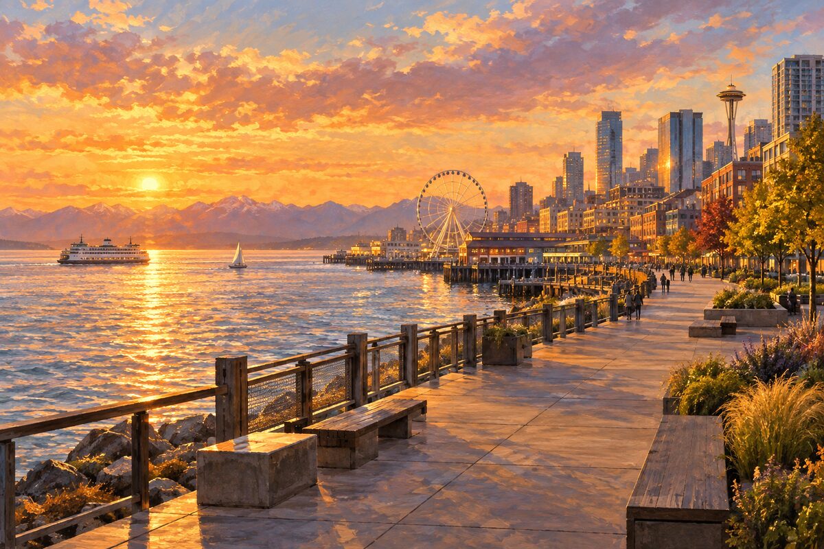
Waterfront Park and the Alaskan Way Promenade
The ground a double-deck freeway stood on until 2019, opened as a park in 2025
Walk the promenade end to end and find the house posts by Oscar Tuazon, carved by Randi Purser of the Suquamish and Tyson Simmons and Keith Stevenson of the Muckleshoot.
2
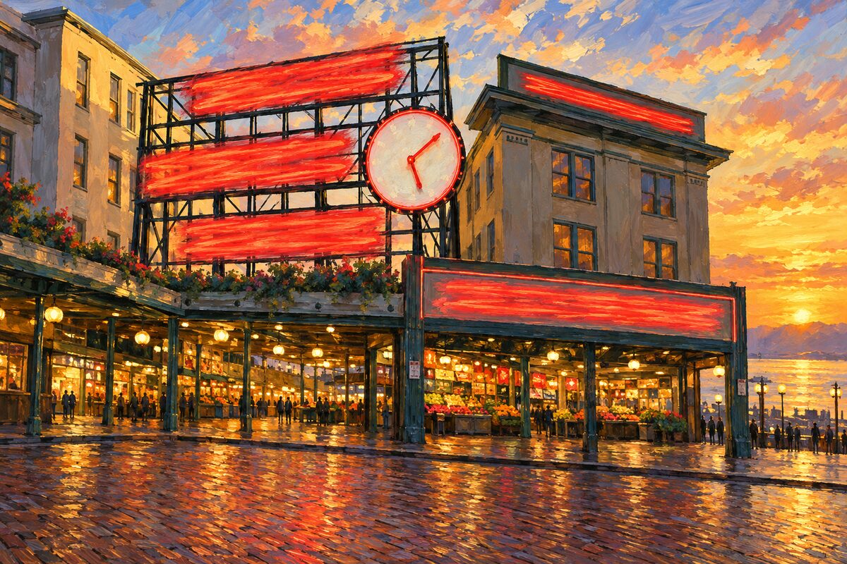
Pike Place Market
A working public market, nine acres down a hillside
Go down. The stalls at street level are the postcard; the floors below, stepping down the bluff, are where the market stops performing.
3
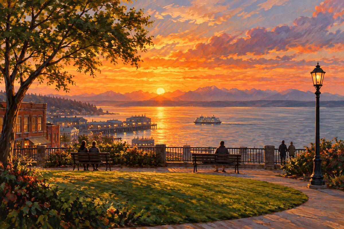
Victor Steinbrueck Park
A lawn the market's defender designed himself
Sit at the north end, where the ground falls away and the bay opens up past the poles.
4
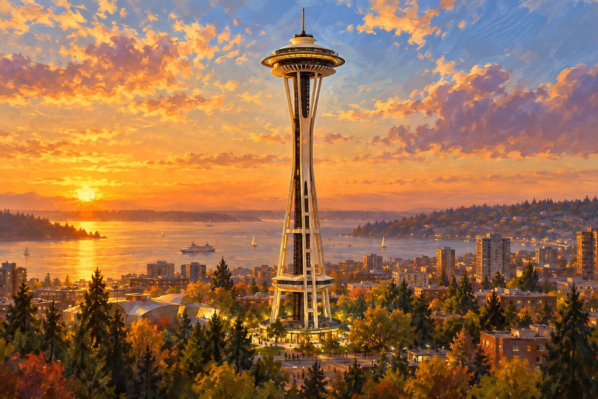
Space Needle
Tripod and saucer, and a glass floor added later
Walk the open-air deck all the way round first, then drop to the glass floor and stand still while it rotates under you.
5
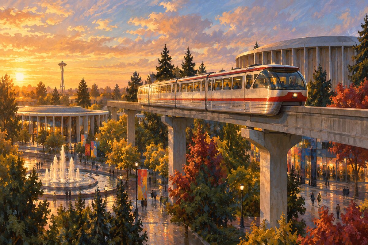
Seattle Center Monorail
Nine tenths of a mile of 1962, never extended
Ride it both ways and sit at the front, where the line threads between buildings at second-storey height.
6
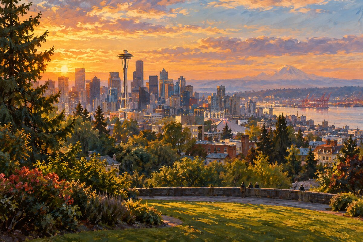
Kerry Park
The postcard: Needle, downtown and Rainier stacked from a ledge on the south slope
Take the wall. Everyone lines up along it at dusk, and the shot everyone came for is the one where the Needle sits in front of downtown with Rainier behind, which only works from this ledge.
More of the top sights
A few of the 165 places in the full guide. Each one has its own written guide in the app: what to do, what to notice, the history, and why it hits.
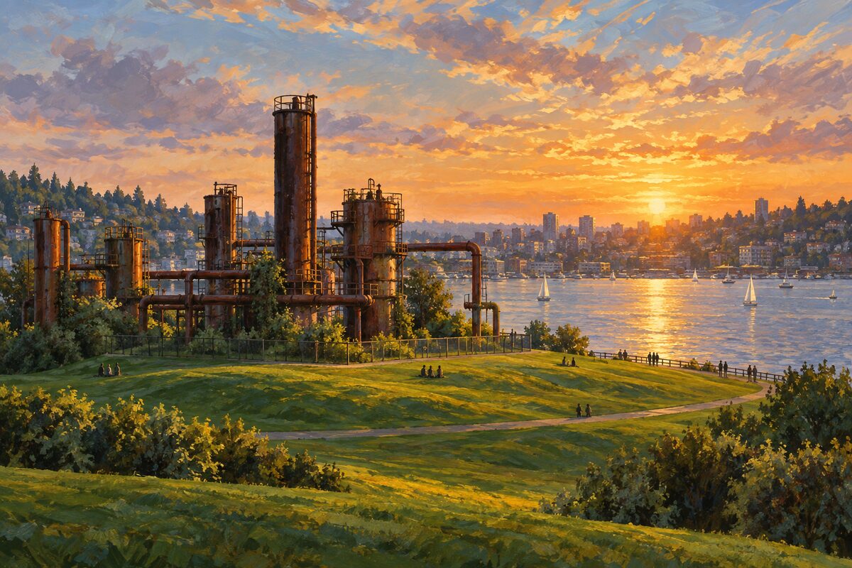
Gas Works Park
Richard Haag kept the cracking towers of a gasification plant and built the park around them
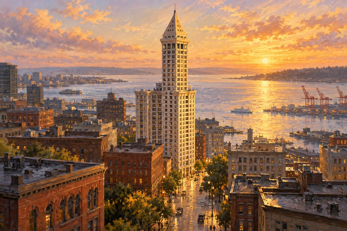
Smith Tower
1914, and the tallest building west of the Mississippi until Kansas City took the title in 1931
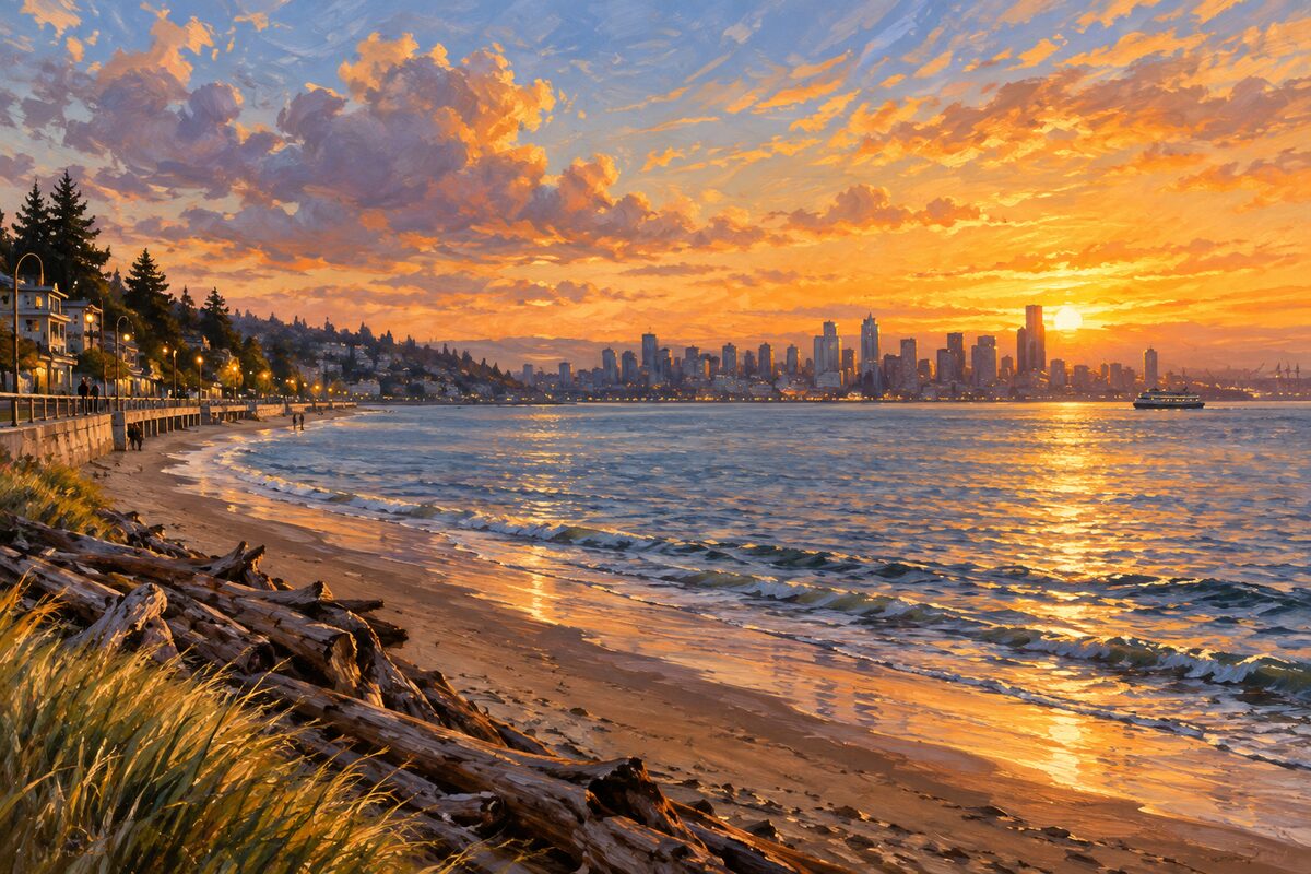
Alki Beach
Where the Denny Party landed in 1851 and called it New York, before somebody added "by and by"
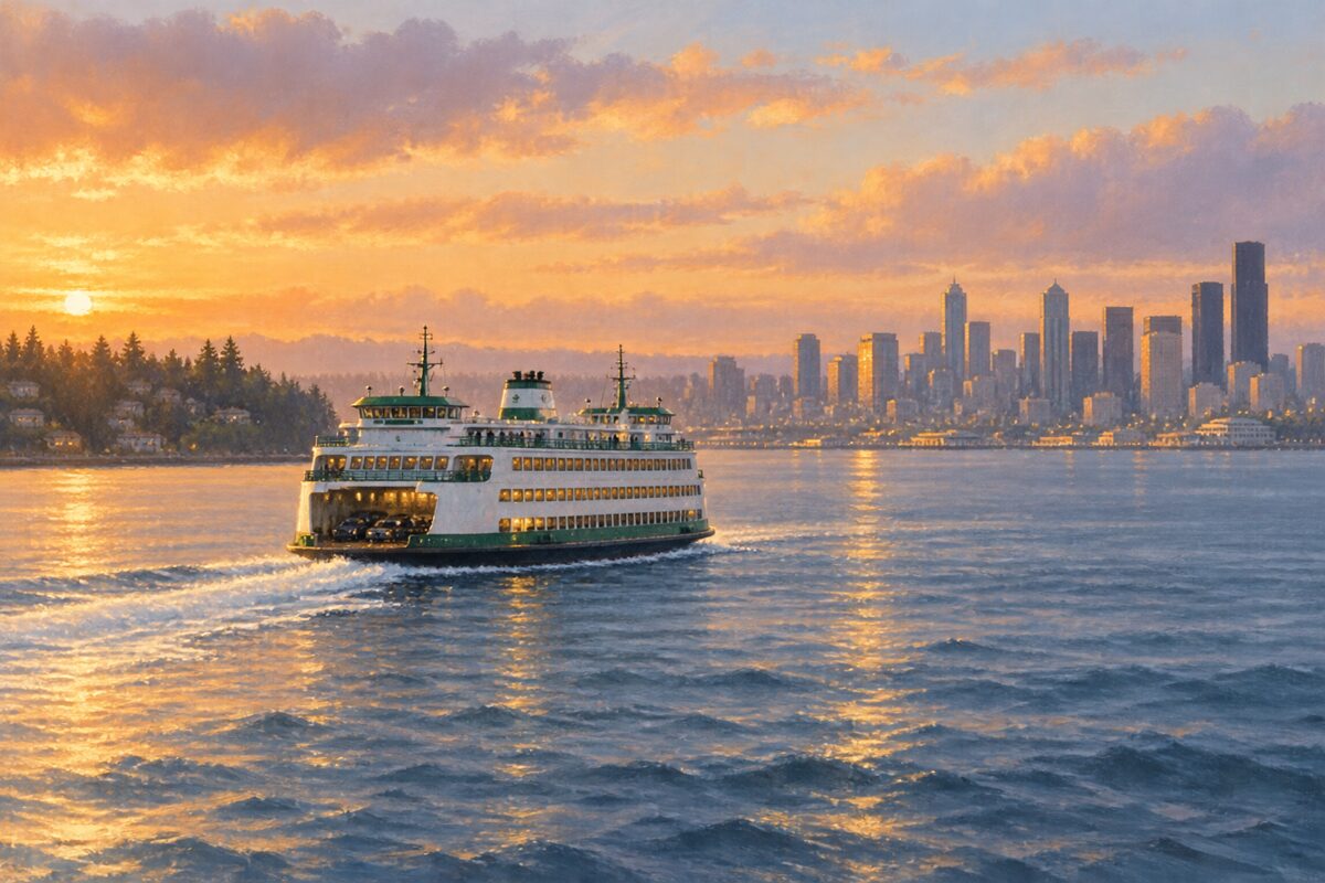
Bainbridge Island Ferry
Thirty-five minutes across open water, on the busiest run in the busiest ferry system in the country
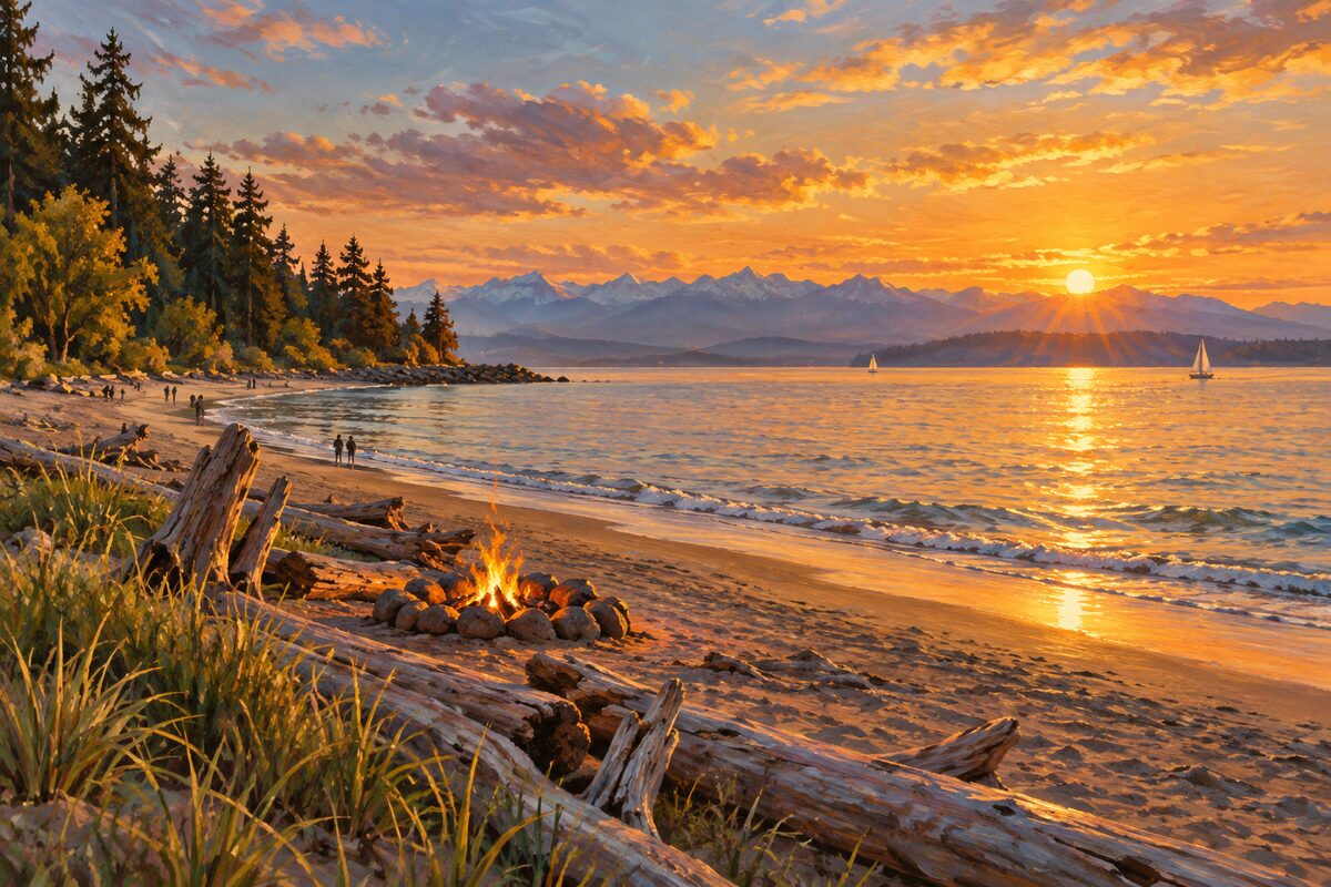
Golden Gardens Park
Sand, driftwood fires and the Olympic range, on ground a developer built to sell houses
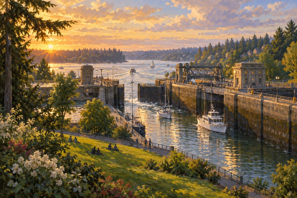
Hiram M. Chittenden Locks
Boats stepping between salt water and fresh, watched from a lawn by people with nowhere else to be
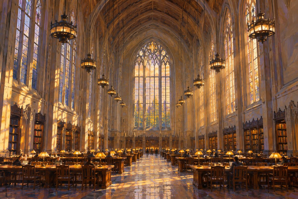
Suzzallo Library
The reading room whose cost the governor used against the president who wanted it
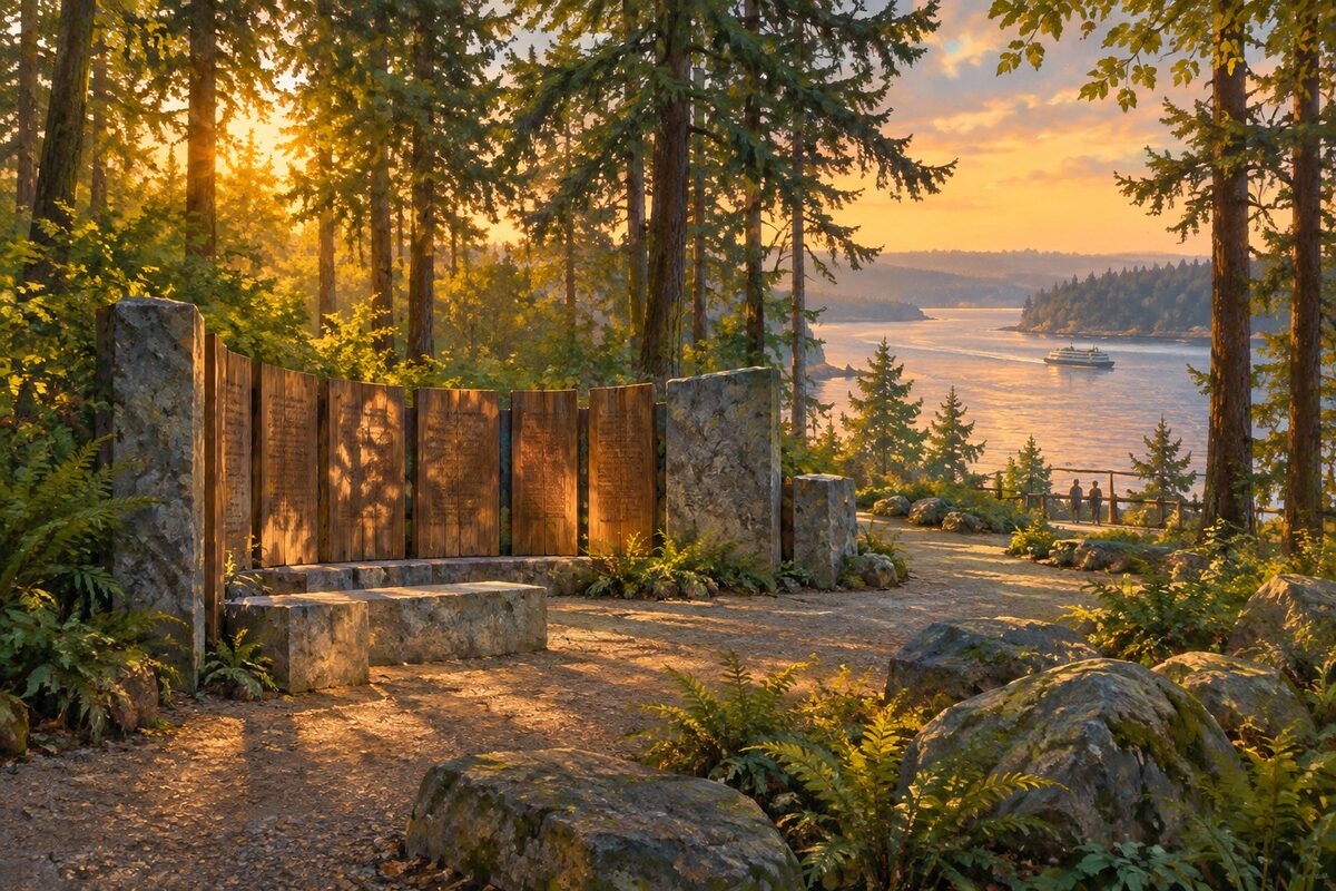
Bainbridge Island Japanese American Exclusion Memorial
Two hundred and seventy-six feet of wall, one foot for every islander who lived here in March 1942
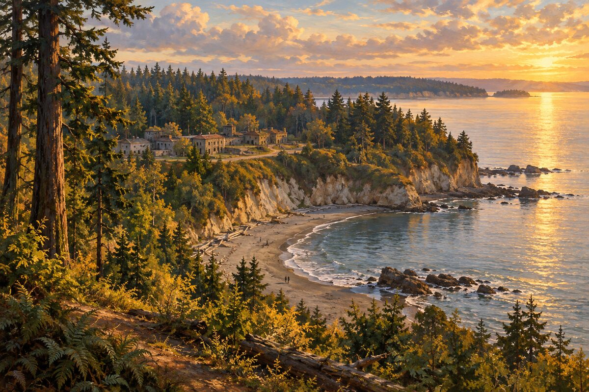
Discovery Park
The city's largest park, bluff and forest and beach laid over a decommissioned army post
Areas
Pike Place Market · The Central Waterfront · Downtown and the Retail Core · Pioneer Square · Chinatown-International District · Seattle Center and Uptown · Queen Anne · Belltown · South Lake Union · Capitol Hill · First Hill · Central District · University District · Montlake and Washington Park · Fremont · Wallingford and Green Lake · Ballard · Magnolia and Discovery Park · West Seattle and Alki · SoDo and Georgetown · Beacon Hill and the Rainier Valley · Puget Sound and the Ferries · Bainbridge Island · Bremerton
Illustrations are drawn for the app. Place descriptions are written by hand and checked against a primary source; facts draw on Wikidata (CC0) and Wikipedia (CC BY-SA). Maps © OpenStreetMap contributors.